Clay Cross — North Wingfield
Clanor two

Slow Way not verified yet. Verify Clanor here.
Slow Way not verified yet. Verify Clanor here.
By a Slow Ways Volunteer on 07 Apr 2021
Description
This is a Slow Ways route connecting Clay Cross and North Wingfield.
Know of a better route? Share it here.
This is a Slow Ways route connecting Clay Cross and North Wingfield.
Know of a better route? Share it here.
Status
This route has been reviewed by 3 people.
This route has been flagged (1 times) for reasons relating to accuracy.
Photos for Clanor two


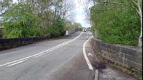

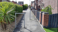

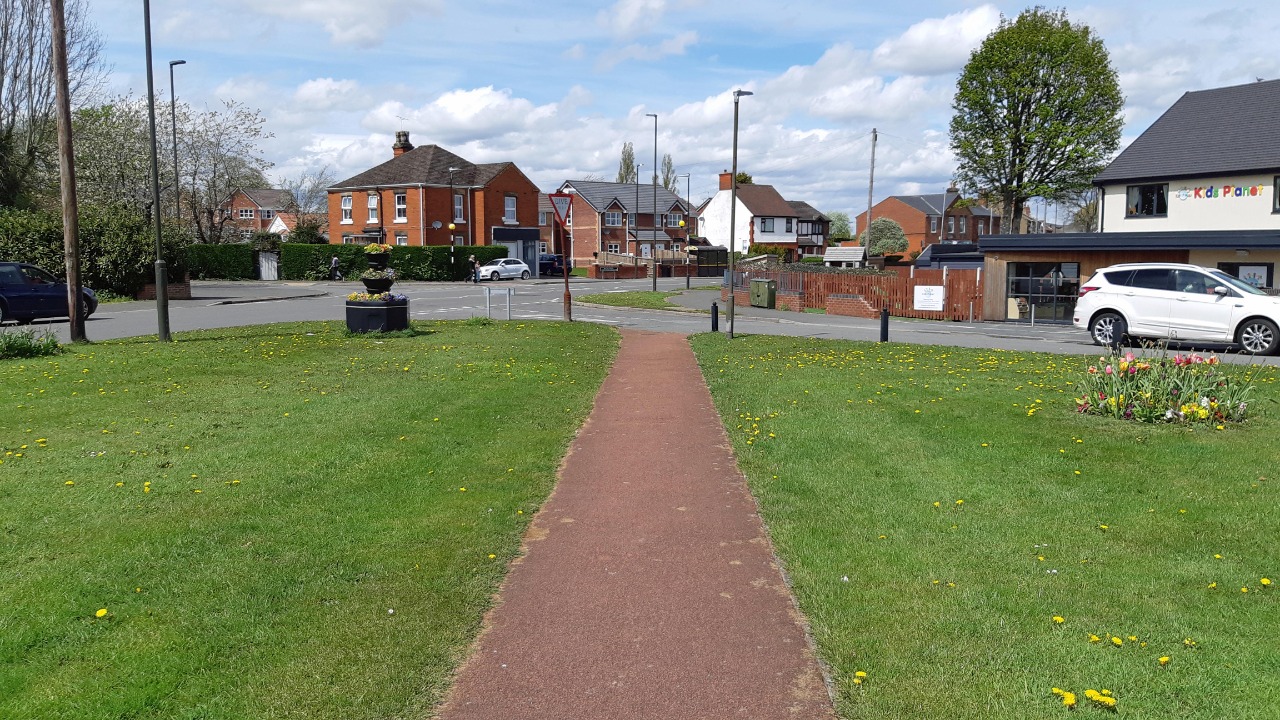

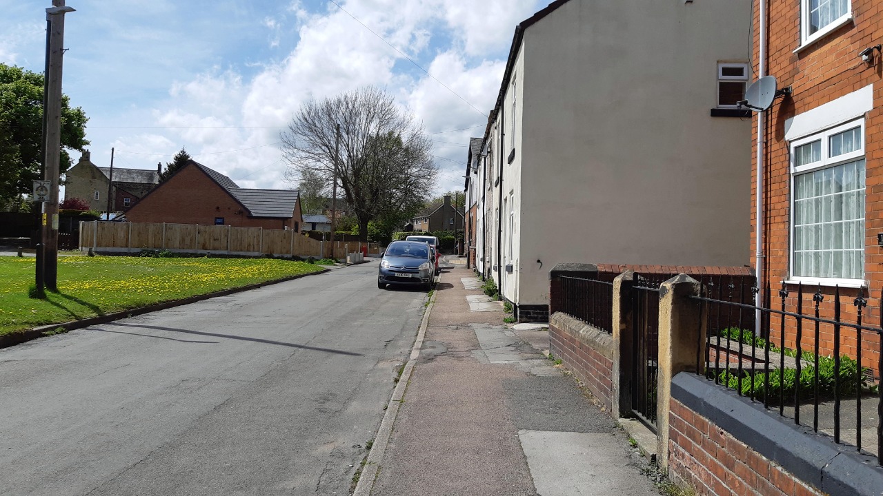
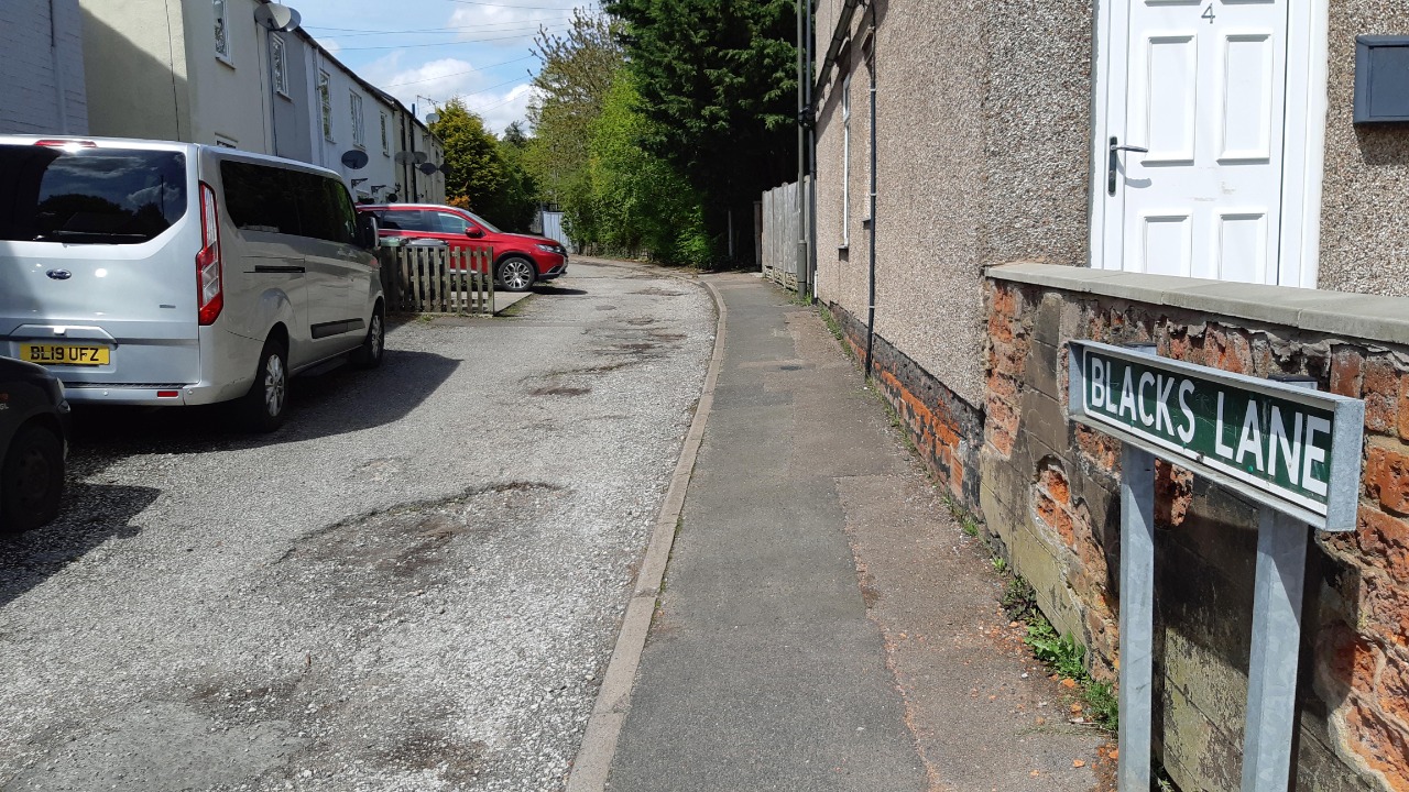
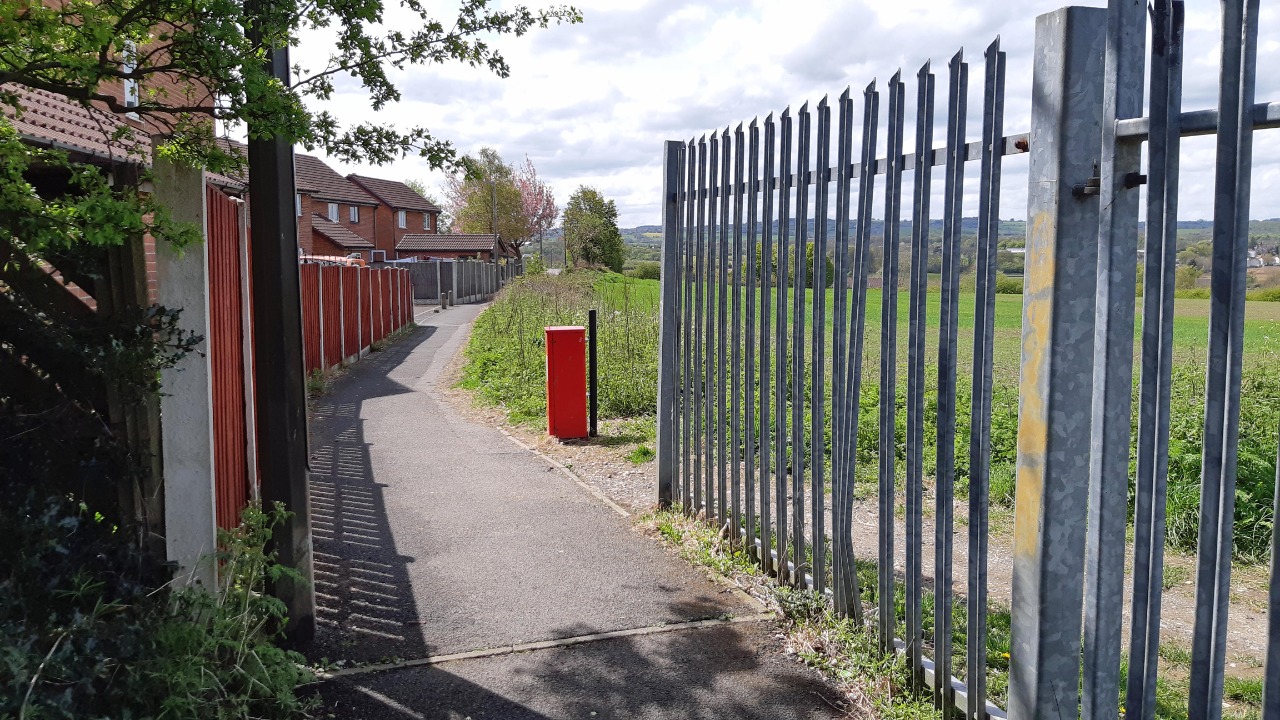

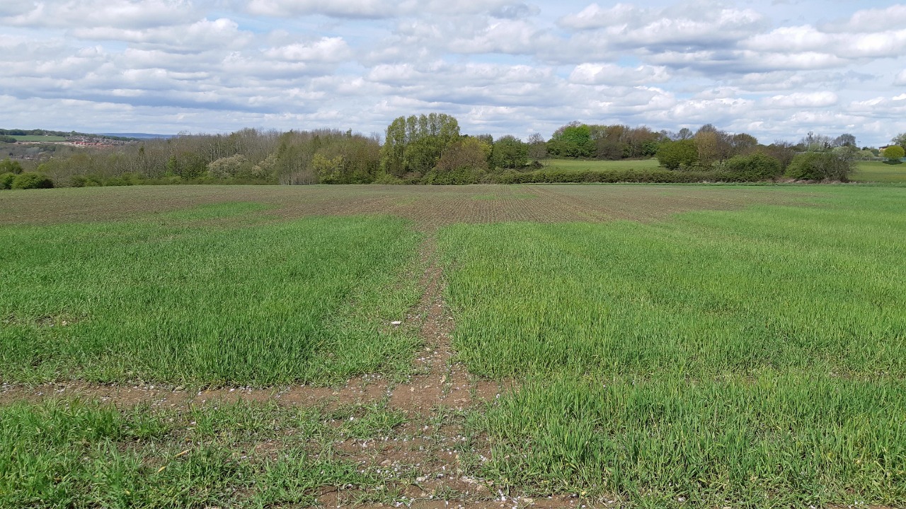
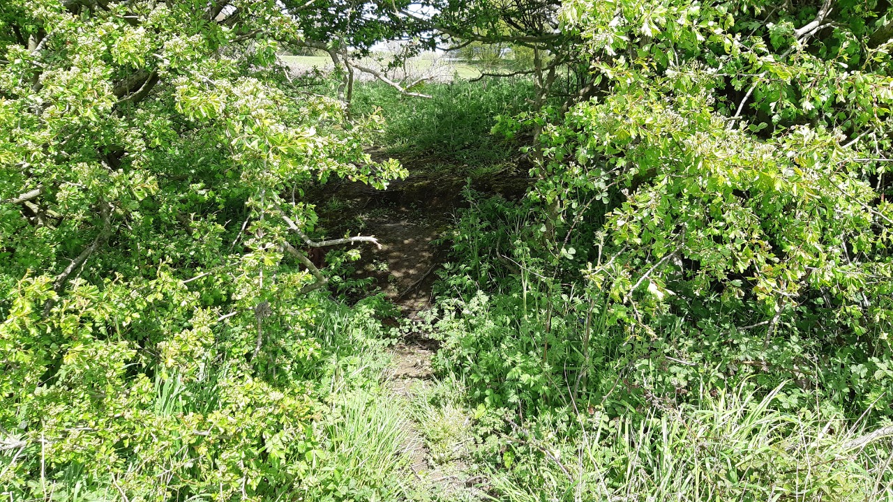
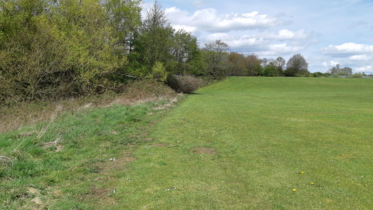


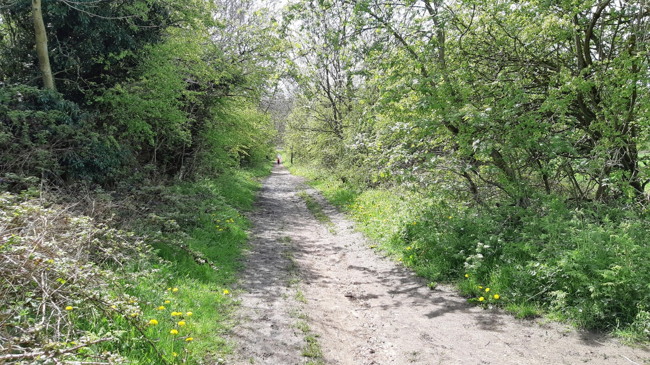


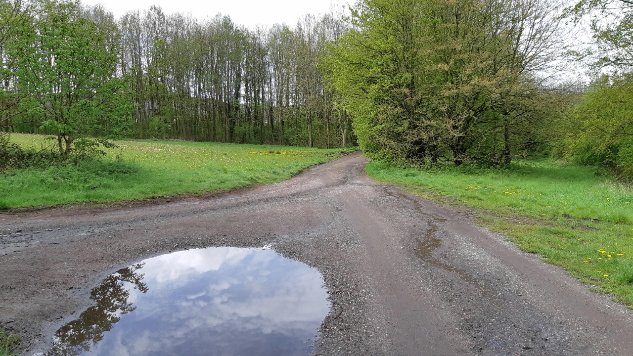
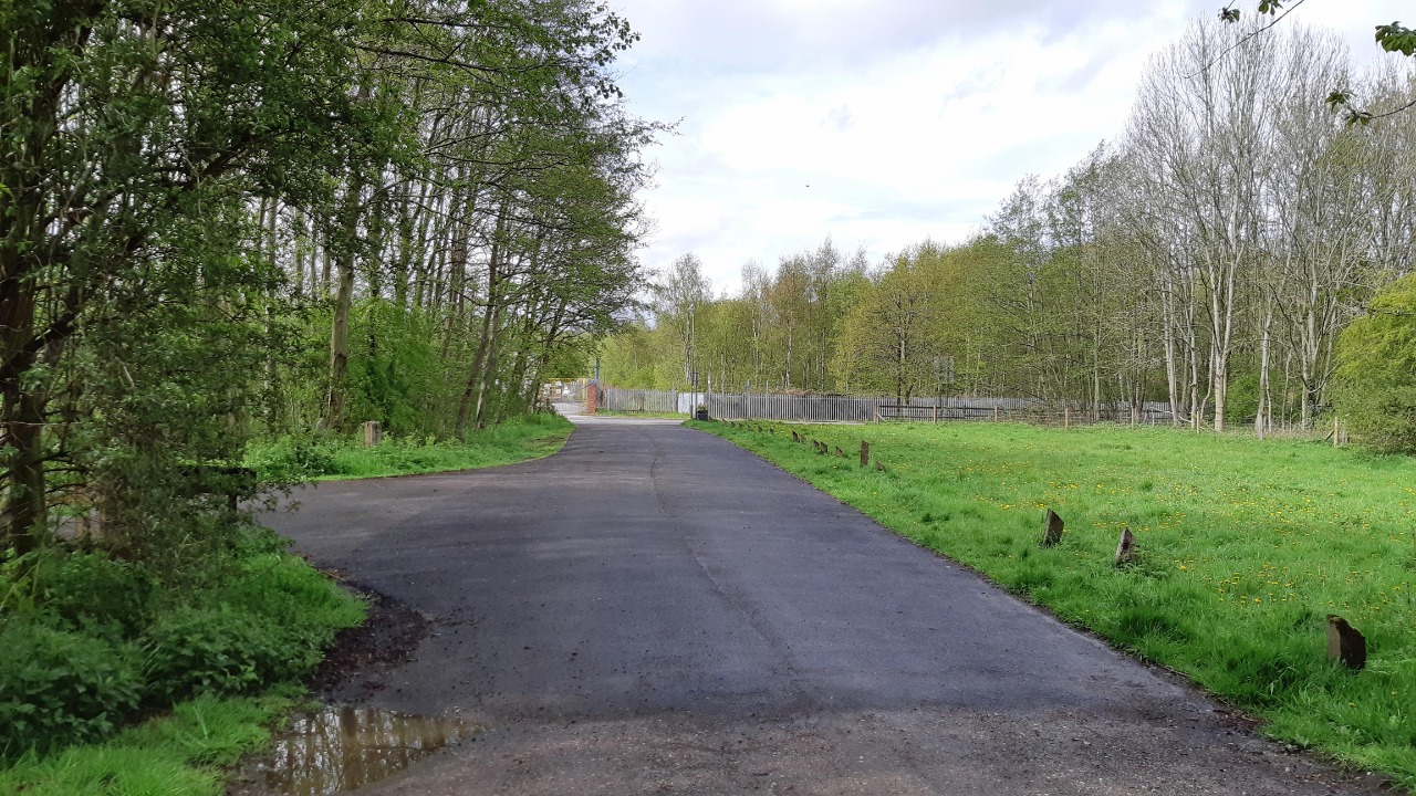

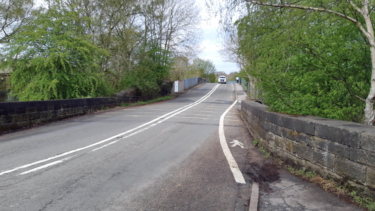
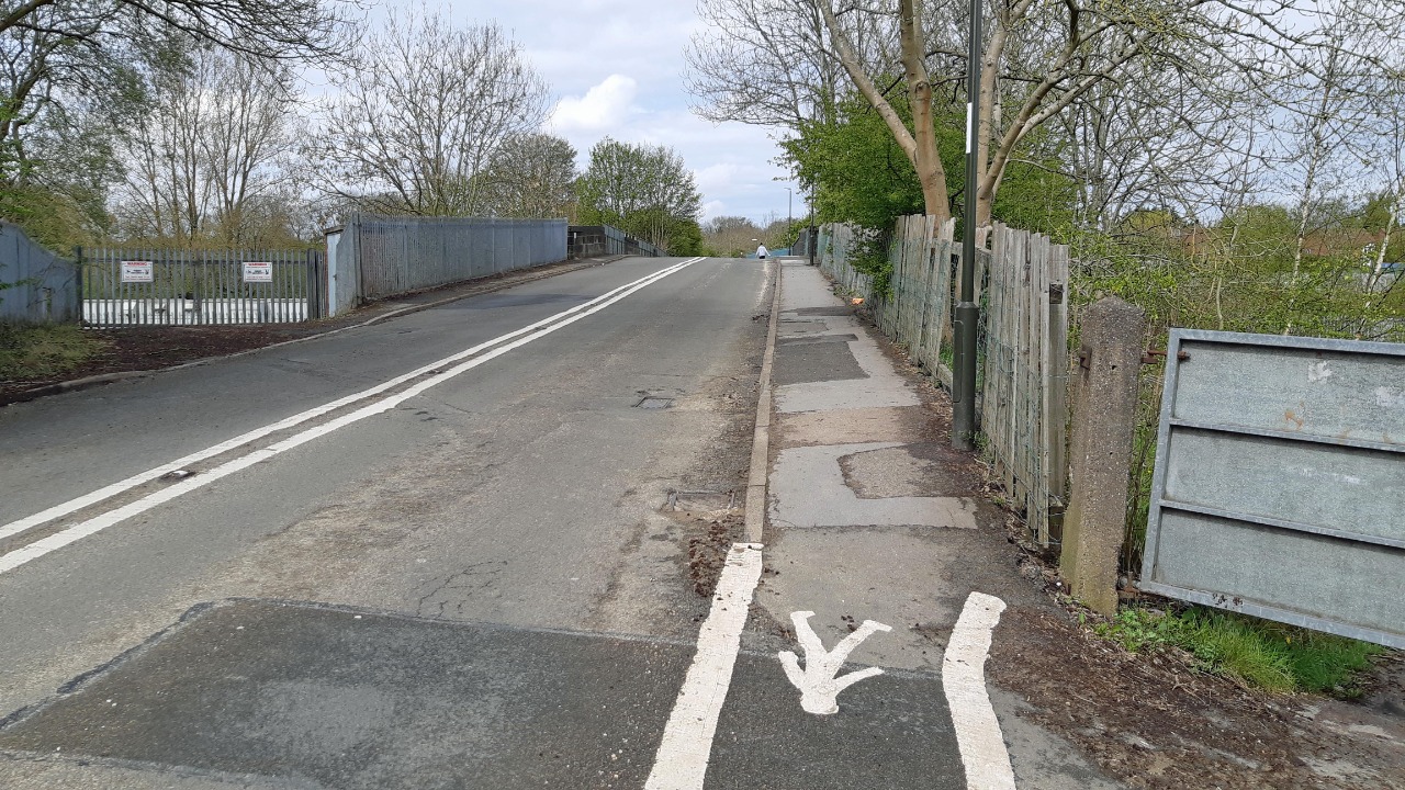
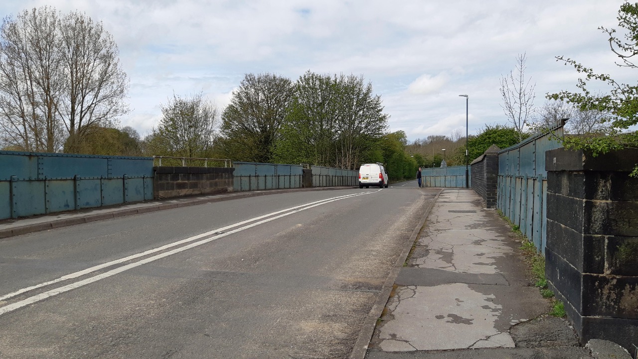


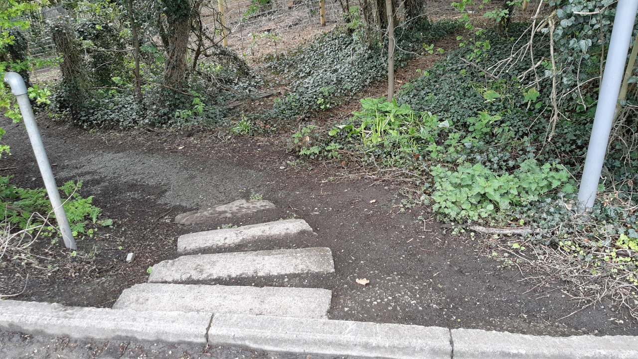
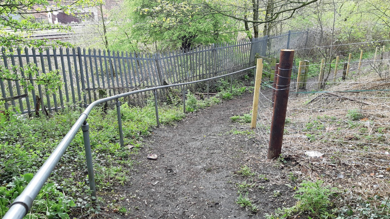

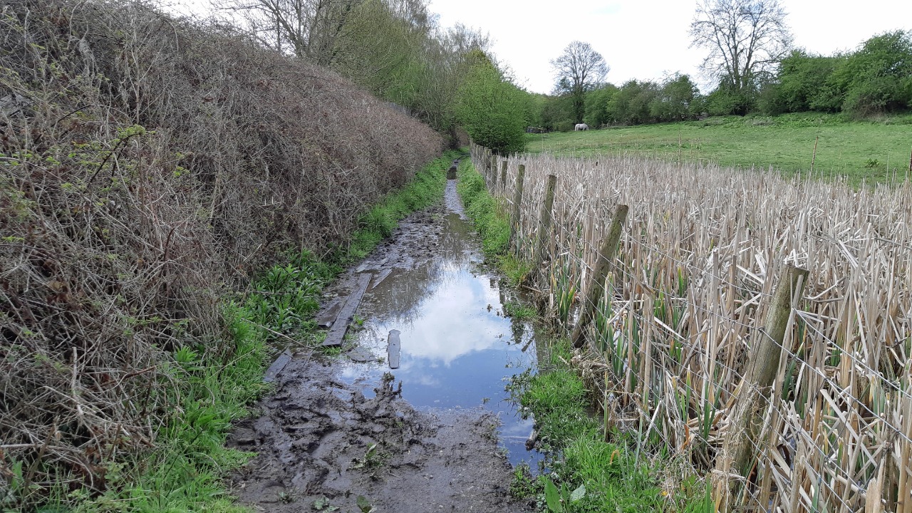
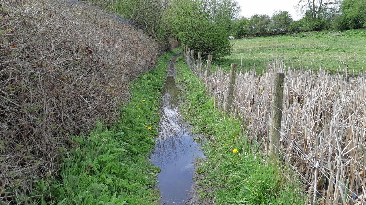
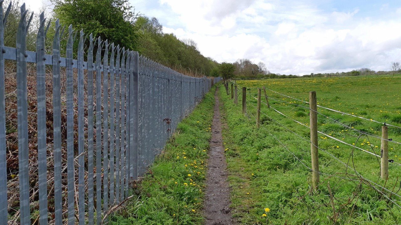
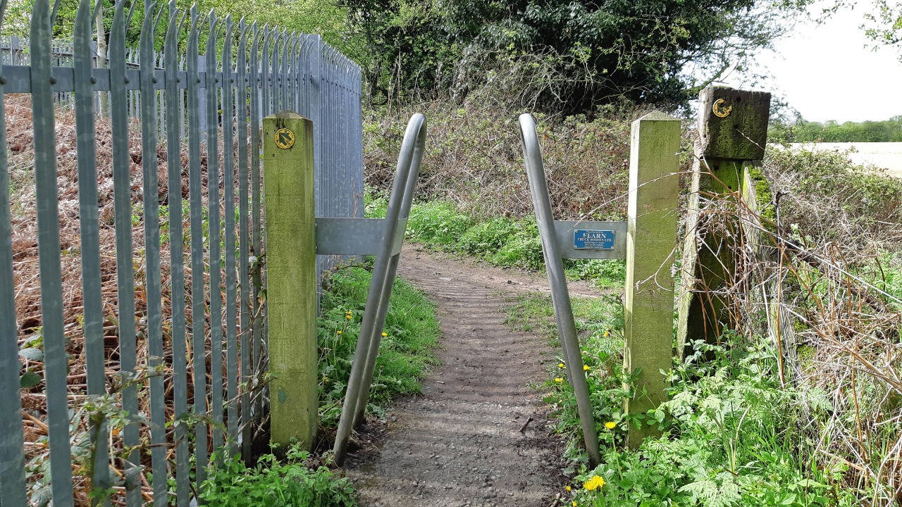
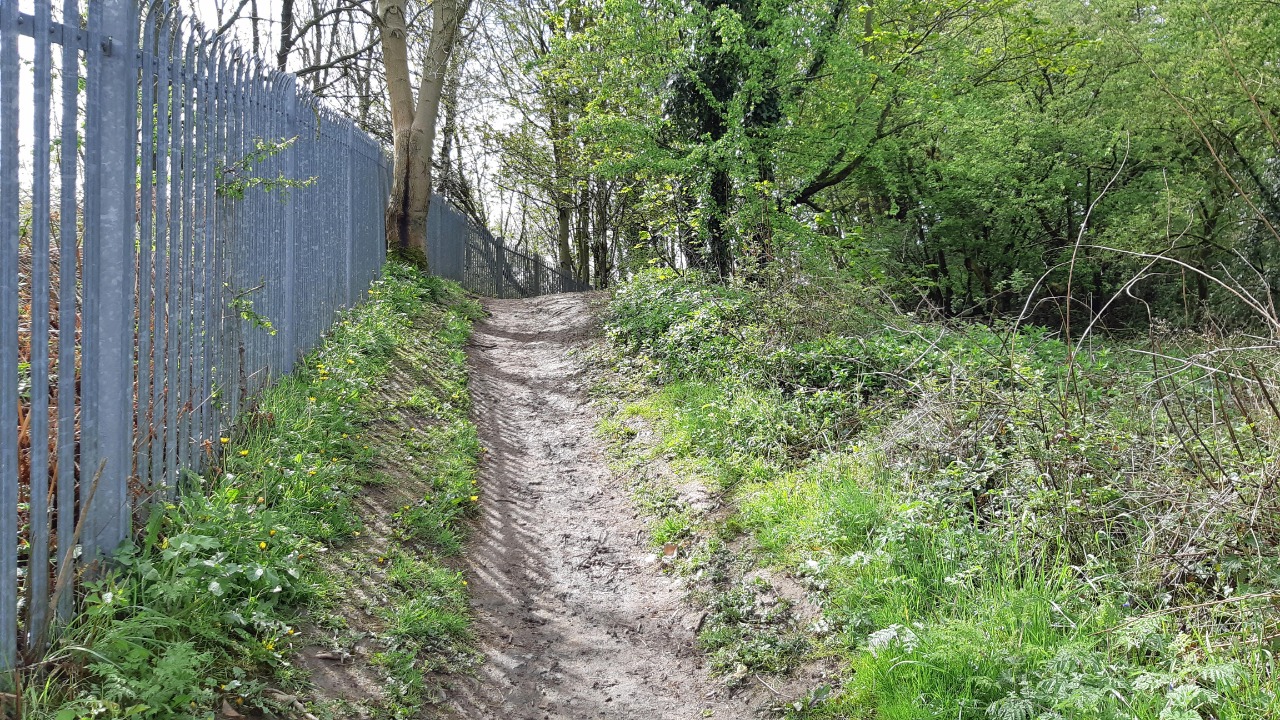
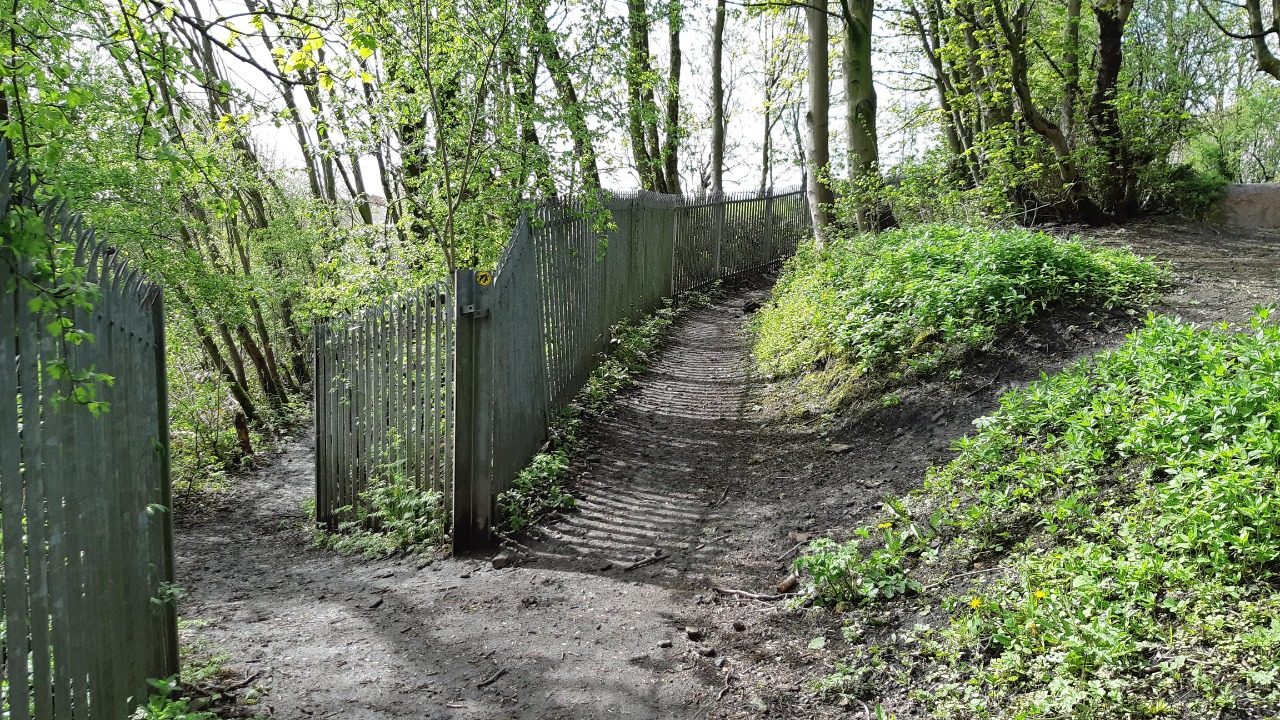
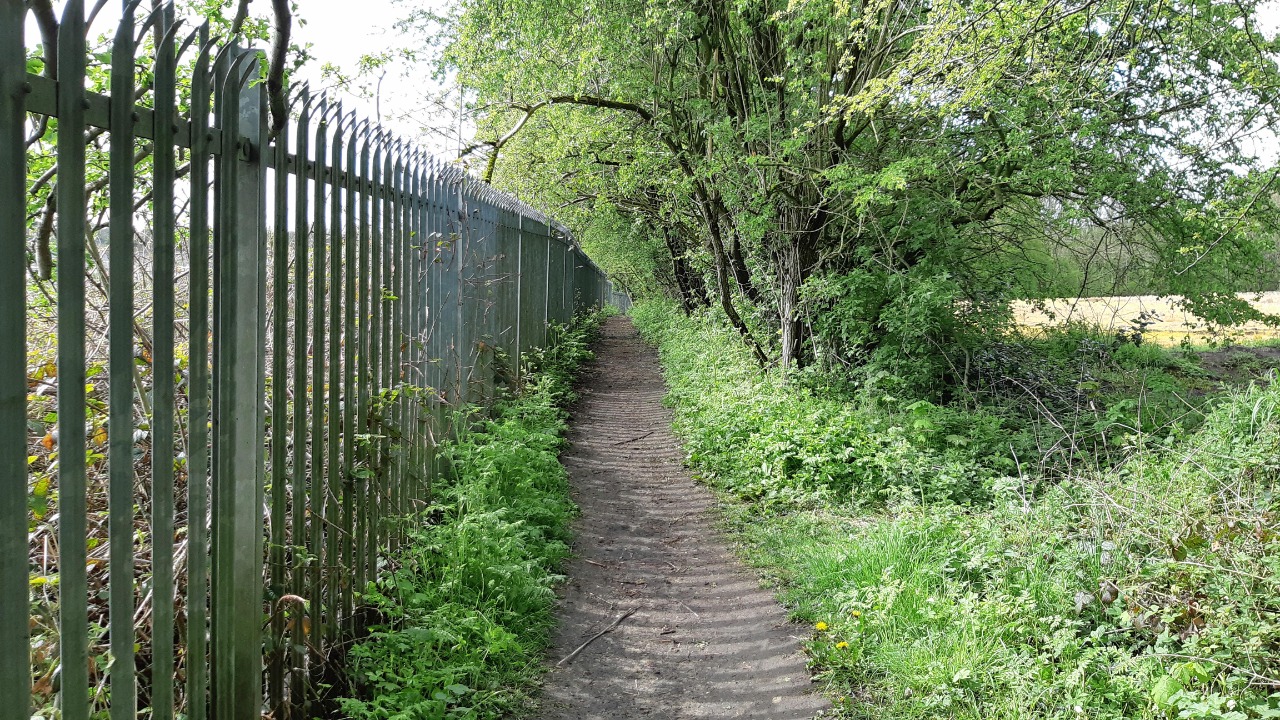


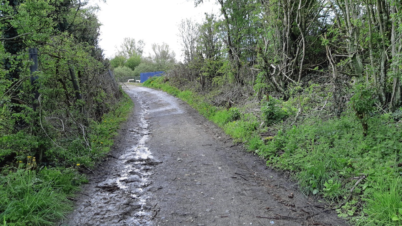
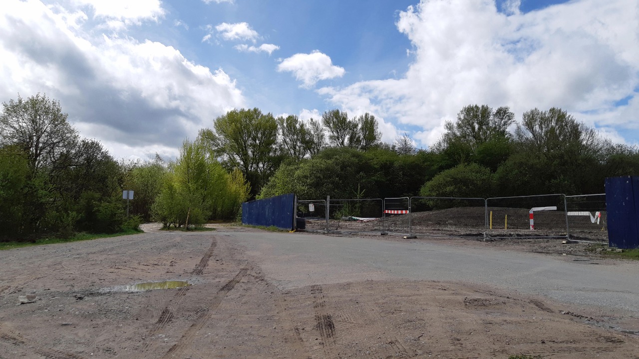

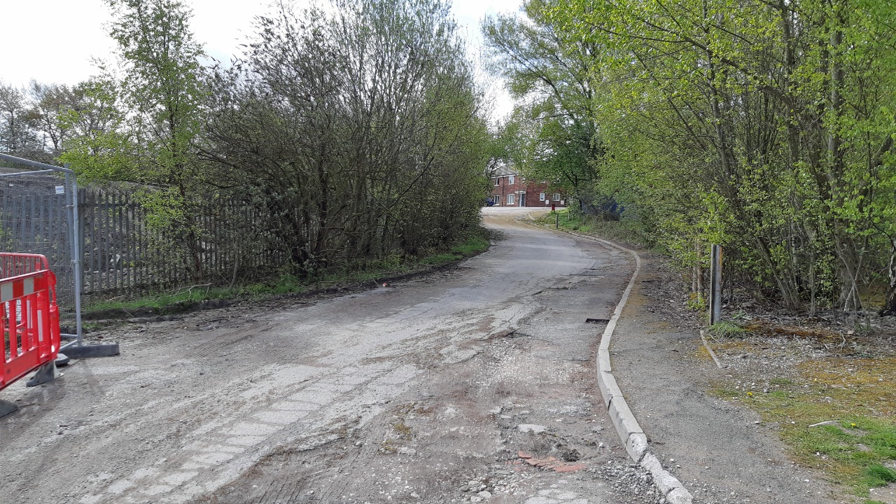

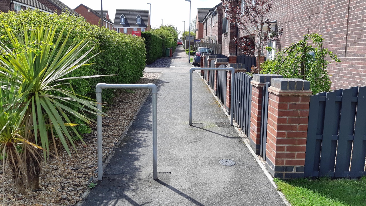
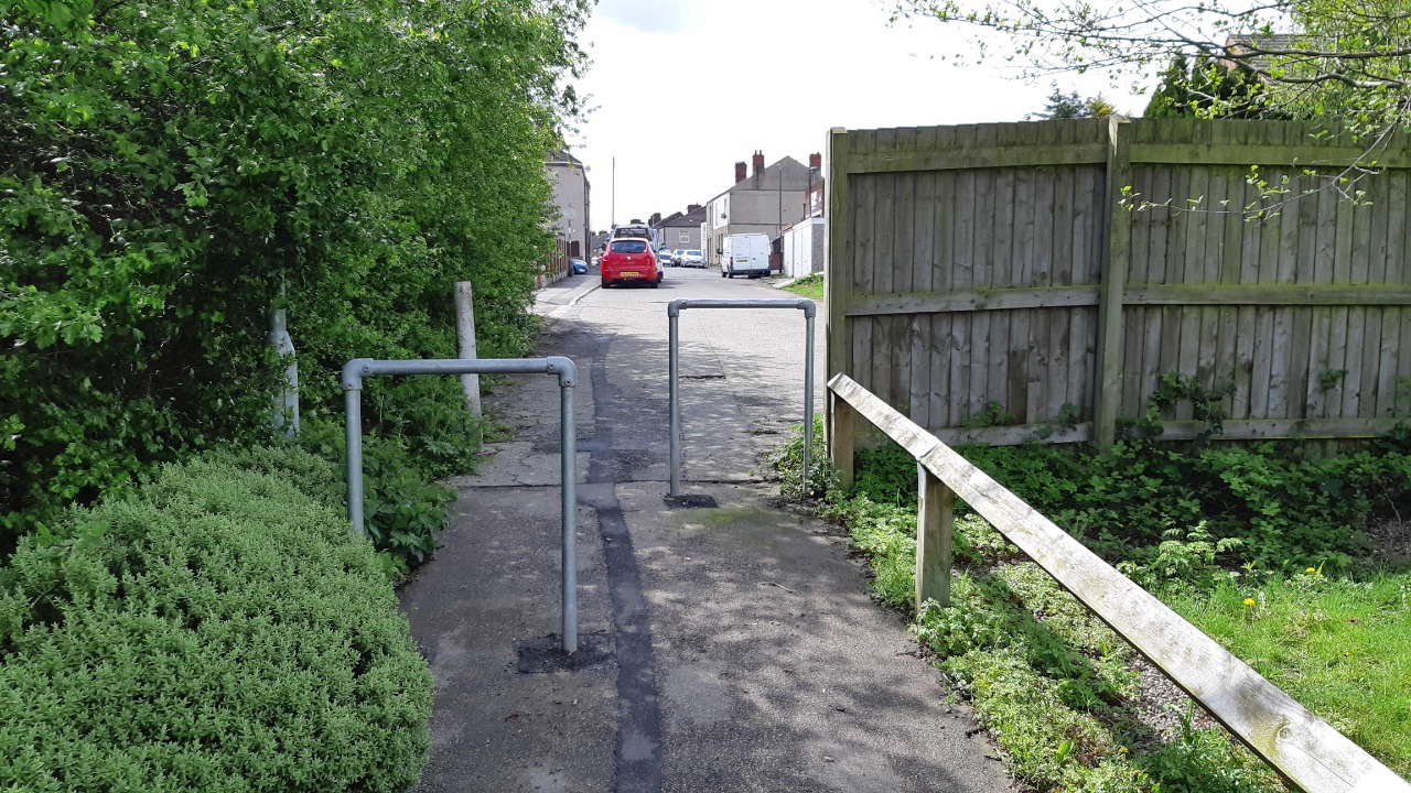
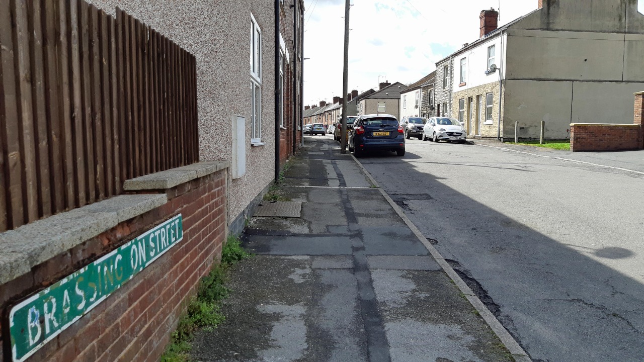
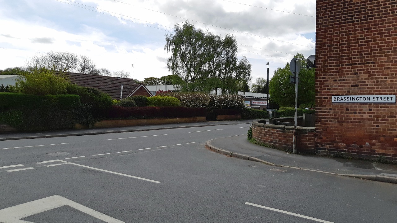


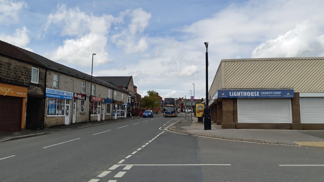
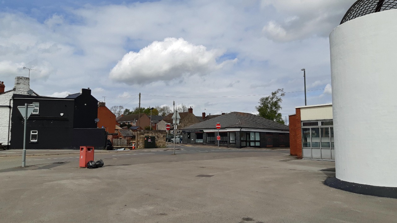
Photos of this route will appear when they are added to a review. You can review this route here.
Information
Route status - Live
Reviews - 3
Average rating -
Is this route good enough? - Yes (2) Maybe (1)
Problems reported - Accuracy (1)
Downloads - 2
Surveys
What is this route like?
Surveys are submitted by fellow users of this website and show what you might expect from this Slow Ways route. Scroll down the page to read more detailed surveys.
| Grade 0U based on 0 surveys | Sign up or log in to survey this route. | ||
|---|---|---|---|
| Description | Note | ||
| Currently ungraded. Access grade U: Currently ungraded. |
Grading is based on average scores by surveyors. This slow way has 0 surveys. | ||
| Full grading description | |||
Only people who have completed our training can become Slow Ways surveyors and submit a survey. We do not vet contributors, so we cannot guarantee the quality or completeness of the surveys they complete. If you are dependent on the information being correct we recommend reading and comparing surveys before setting off.
Survey Photos
We are working to build-up a picture of what routes look like. To do that we are asking volunteers to survey routes so that we can communicate features, obstacles and challenges that may make a route desirable or not.
Slow Ways surveyors are asked to complete some basic online training, but they are not vetted. If you are dependent on the survey information being correct in order to complete a route, we recommend that you think critically about the information provided. You may also wish to wait until more than one survey has been completed.
Help people know more about this route by volunteering to submit a survey.
- Complete the survey training.
- Submit a survey for this route.
Geography information system (GIS) data
Total length
Maximum elevation
Minimum elevation
Start and end points
Clay Cross
Grid Ref
SK3926863469
Lat / Lon
53.16692° / -1.41407°
Easting / Northing
439,268E / 363,469N
What3Words
saga.slanting.saga
North Wingfield
Grid Ref
SK4102765147
Lat / Lon
53.18187° / -1.38755°
Easting / Northing
441,027E / 365,147N
What3Words
olive.fetches.hawks
Clanor Two's land is
| Clay Cross | |
|---|---|
| Grid Ref | SK3926863469 |
| Lat / Lon | 53.16692° / -1.41407° |
| Easting / Northing | 439,268E / 363,469N |
| What3Words | saga.slanting.saga |
| North Wingfield | |
|---|---|
| Grid Ref | SK4102765147 |
| Lat / Lon | 53.18187° / -1.38755° |
| Easting / Northing | 441,027E / 365,147N |
| What3Words | olive.fetches.hawks |
| Arable | 46.7% |
| Urban | 53.3% |
Data: Corine Land Cover (CLC) 2018
Other Routes for Clay Cross—North Wingfield See all Slow Ways
Review this better route and help establish a trusted network of walking routes.
Suggest a better route if it better meets our methodology.