Description
Improved route from Hooley to Netherne using Star Lane and traffic light crossing of A23. Footpath (street lights) along Forge Bridge Lane to Netherne avoiding narrow single track road
Improved route from Hooley to Netherne using Star Lane and traffic light crossing of A23. Footpath (street lights) along Forge Bridge Lane to Netherne avoiding narrow single track road
Status
This route has been reviewed by 4 people.
There are no issues flagged.
Photos for Bannet two

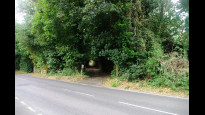
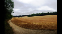


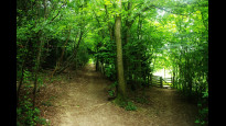


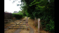
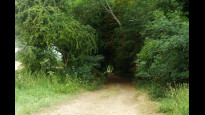
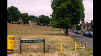


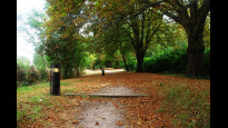

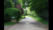
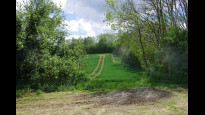
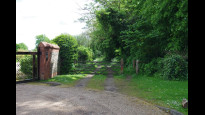
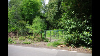
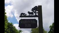
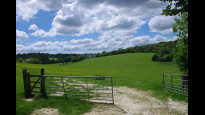
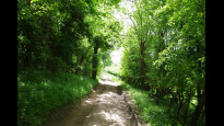
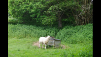
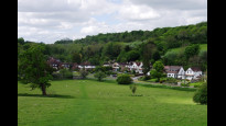
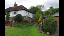
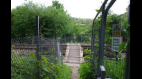
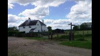
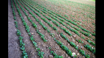
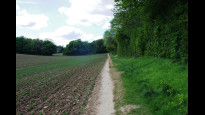
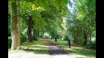
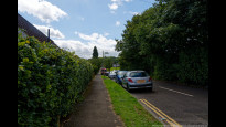
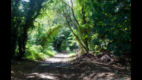
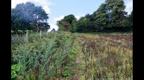

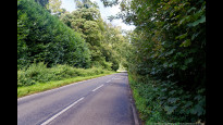
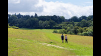
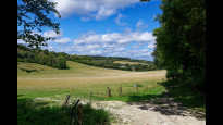

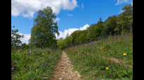
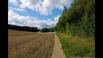
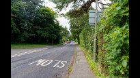
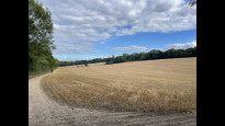
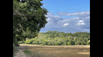
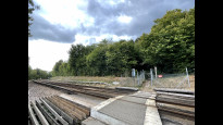


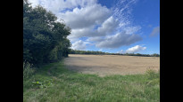
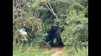

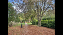
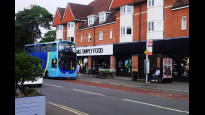

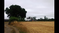
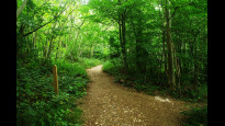
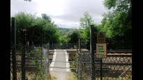
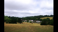
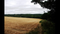

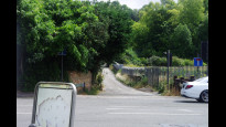
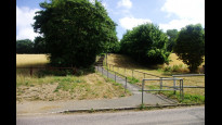
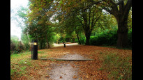
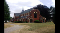
Photos of this route will appear when they are added to a review. You can review this route here.
Information
")
Route status - Live
Reviews - 4
Average rating -
Is this route good enough? - Yes (4)
There are currently no problems reported with this route.
Downloads - 7
Surveys
We are working to build-up a picture of what routes look like. To do that we are asking volunteers to survey routes so that we can communicate features, obstacles and challenges that may make a route desirable or not.
Slow Ways surveyors are asked to complete some basic online training, but they are not vetted. If you are dependent on the survey information being correct in order to complete a route, we recommend that you think critically about the information provided. You may also wish to wait until more than one survey has been completed.
Help people know more about this route by volunteering to submit a survey.
- Complete the survey training.
- Submit a survey for this route.
Geography information system (GIS) data
Total length
Maximum elevation
Minimum elevation
Start and end points
Banstead
Grid Ref
TQ2523059643
Lat / Lon
51.32211° / -0.20420°
Easting / Northing
525,230E / 159,643N
What3Words
minute.cracks.scare
Netherne On-The-Hill
Grid Ref
TQ2953856298
Lat / Lon
51.29109° / -0.14362°
Easting / Northing
529,538E / 156,298N
What3Words
guides.fantastic.boil
| Banstead | |
|---|---|
| Grid Ref | TQ2523059643 |
| Lat / Lon | 51.32211° / -0.20420° |
| Easting / Northing | 525,230E / 159,643N |
| What3Words | minute.cracks.scare |
| Netherne On-The-Hill | |
|---|---|
| Grid Ref | TQ2953856298 |
| Lat / Lon | 51.29109° / -0.14362° |
| Easting / Northing | 529,538E / 156,298N |
| What3Words | guides.fantastic.boil |
Sorry Land Cover data is not currently available for this route. Please check back later.
There are no other routes for Banstead — Netherne On-The-Hill
If you know a better way, then please let us know.
Review this better route and help establish a trusted network of walking routes.
Suggest a better route if it better meets our methodology.